Trail Overview
Location: Near Sperryville, Virginia
Distance: 6.1 miles (loop)
Elevation Gain: 1,656 feet
Estimated Time: 3 hr 29 min
Difficulty: Challenging
Best Time to Visit: Year-round
If you’re looking for a moderately strenuous loop hike in the Shenandoah region with a good mix of water crossings, solitude, and steep climbs, the Hazel River & Sam’s Ridge Loop is an excellent pick. We headed out early and took the trail counterclockwise, which is highly recommended for a smoother flow through the loop.
Our Experience
The trail begins along Woodward Road (Route 600), where you’ll need to park along the roadside since there’s no designated trailhead parking—just be careful to avoid areas marked “No Parking.”
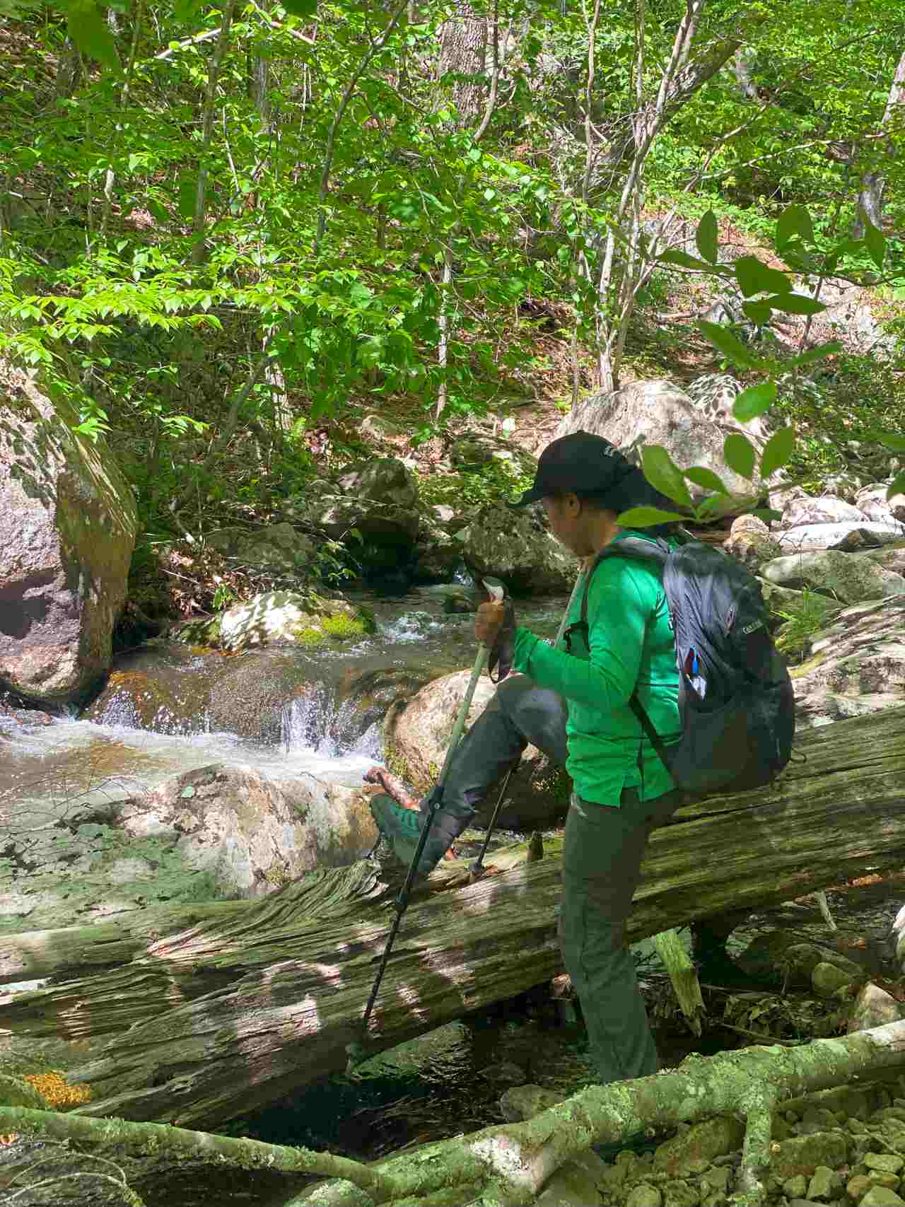
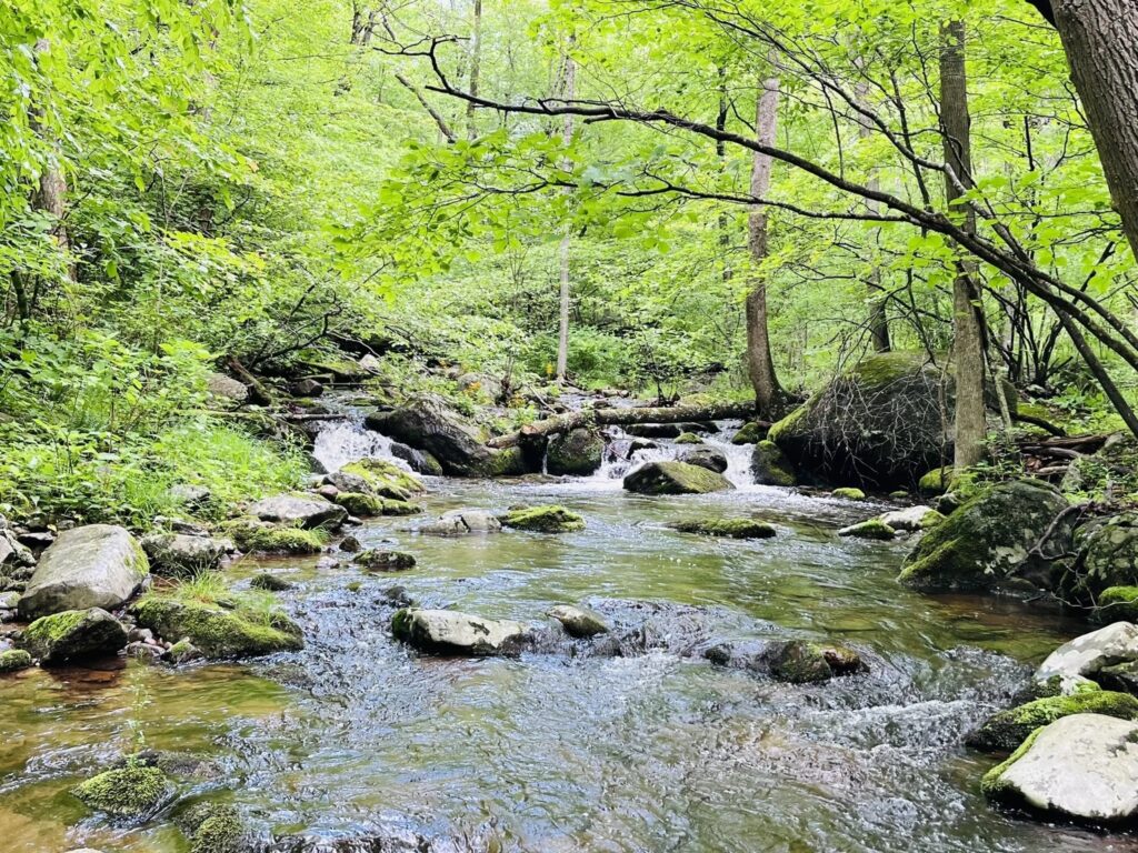
The hike starts by ascending gently along the Hazel River, which flows alongside you for much of the first portion of the trail. The sound of cascading water accompanies you as you make your way up, and the Hazel River crossings quickly become one of the most memorable parts of the hike.
There are 4–5 river crossings, most of which are manageable thanks to large, stable rocks. However, a couple of them were tricky due to the high water level. I had to walk through the water at one crossing, and at another, I carefully shimmed across a slick log—a moment that added a real sense of adventure to the hike. Trekking poles came in very handy here, especially for balance on slippery surfaces.
Once past the summit, the trail descends rapidly down Sam’s Ridge Trail, which is very steep and rugged in places. This section, along with the short but intense climb up Hot Short Trail, will test your legs and knees on the descent.
While the yellow-blazed sections of the trail could definitely use better maintenance and clearer markings, the overall loop is still navigable for experienced hikers. You’ll encounter some solitude if you go early, despite this being a relatively popular route for camping, backpacking, and day hiking.
Scenic Highlights
Hazel River cascades provide a soothing soundtrack and beautiful scenery for the first part of the loop.
Occasional clearings offer peek-a-boo views of the ridgelines.
The natural obstacles (logs, river crossings, and steep switchbacks) make this a great trail for those looking for a challenge without committing to a full-day trek.
Final Thoughts
This 6.1-mile loop isn’t the longest or highest-elevation hike in the area, but it offers just enough of a challenge to feel earned, especially with the multiple river crossings and steep downhill finish. Be sure to check recent weather conditions before heading out—heavy rain makes the river crossings significantly more difficult. Bring trekking poles, wear water-resistant footwear, and start early to enjoy some peaceful solitude before others hit the trail.
This hike combines natural beauty, a bit of rugged adventure, and just the right level of intensity to leave you feeling satisfied—and maybe even a little sore in the best way possible.